 |
| I found a trip to Anak Krakatau offer in the facebook organized someone called himself Wisata Bahari. I replied the offer, so did other 30s people. I'd never met them before, except one: my work-mate Kelik. We met up on Sat Oct 6, 2012 at TPI (Tempat Pelelangan Ikan - Fish Auction) Lempasing in Bandar Lampung. The appointment was at 7am to leave the harbor. Kelik and I came there at 6:30am to meet none of them till 7am when Iwan and Geby showed up. After completing the waiting game, we finally left at 8:45am. The sky was not blue, it was grey. Really a mood killer for my photograph mission. But I was too excited to climb the Mt Anak Krakatau. |
 |
| Three-hours sailing took us to Sebesi island. I didn't think it was a real island. To me it was another volcano in the middle of the sea, occupied by 2000s villagers. We had lunch on boat, and then harboring the island. |
 |
| That afternoon we went to a snorkeling spot near the island. It was a big dilemma to me, to choose between swimming and taking pictures. Yogi encouraged me to taking pictures than swimming, and that was I did. The first spot had a strong underwater current, which forced us to pick another spot not far from Sebuku island. They were busy swimming and snorkeling and I was busy taking pictures and wondering why the pictures I took not as beautiful as expected :-( We went back to Sebesi island in sunset time. Too bad, the Mt. Sebesi stood between my camera and the sun. We had dinner on the island, tried singing karaoke to the song we were not familiar. Villager had special party, organ tunggal! For those who don't know what organ tunggal is, try googling it. We went to bed (not really a bed, just a mattress lying on the floor, with four of us on the top of it) for the big day the following morning. I didn't know who snored louder than me, if any. |
 |
| We started the day early. I woke up at 3am and we left Sebesi island the next hour. The plan was to climb the Mt. Anak Krakatau and observing sunrise on the top of it. The wind was strong, the waves was high, but my eyes were sleepy still. The boat headed south to Mt. Anak Krakatau. One hour later I saw a volcano and thought it was Mt. Anak Krakatau until I look at the other side of the boat. Then there was Mt. Anak Krakatau which was smaller than the first volcano I saw, Mt. Rakata. It was still too dark to take any picture, especially if you're on moving boat. We arrived at Mt. Anak Krakatau, apparently too late to climb before sunrise. There were some speed boats on the beach, and I saw some tents on the island. They must be camping there from the night before. |
 |
| We landed at the part of the island with vegetation. The beach had black volcanic sand. There was a ranger station nearby, a hut and a big name sign welcoming us said "Cagar Alam Krakatau" (Krakatoa Natural Reserve). I was lucky enough to be there early. I bet this name sign would be a favorite place to take picture by visitors, and it would be too crowded, not fun. |
 |
| Surprise, Minnie was here! I can't imagine somebody brought Minni Mouse to Mt. Anak Krakatau. We're living in the same planet anyway, right? |
 |
| I was intimidated by some pictures of Mt Anak Krakatau in the internet. Conical shape would be tough to climb, the loose sand on the volcano surface would add the suffer. Did I mention those sulphuric smokes everywhere? I decided to wear a hiking sandals after looking at some pictures of people climbing this volcano wearing hiking sandals, on the facebook. This decision which I regretted later. But hey, look at the picture above. It seemed to be a fun hike that morning..... initially. |
 |
| But then. the forest disappeared... but I still had my hat. |
 |
| The soil got softer, it was completely sand. Whenever you stepped, your foot got sink. You climb ed three steps up and the gravity pulled you down by a step. To my surprise, the surface was full of dried granulated mud. And I tell you, it was hard with sharp edges. You just don't want to get it stuck between your sandal and your feet. It hurts! Please wear good high hiking-shoes with thick socks. |
 |
| You would find a lot of holes on the surface of Mt. Anak Krakatau with different size. I found one with approx. 1 meter depth, as picture above (with Geby, Kelik and Iwan left to right). I always found one dried ball of mud in each hole. It must be a kind of volcanic bomb, thrown away from underground. |
 |
| I had good reasons for posing: 1. It's a proof I was there 2. Posing gives you time to catch your breath, elegantly. You don't want to let people to see you running out of breath, right? Try posing or acting like taking lots of picture |
 |
| The angelic face of Mt Anak Krakatau, facing to the west. It looked smooth, quiet, just like smiling at me! |
 |
| We met a yacht which visited Mt Anak Krakatau. The government of Lampung Province held the annual Krakatau Festival, this year at Oct 6-7 2012. One of the attraction was a visit to Mt Anak Krakatau. I thought this yacht was carrying the VIP guests. |
 |
| I was wondering what the hell they were doing over there |
 |
| The devilish face of Mt. Anak Krakatau, facing to the east. It represents powerful anger, show-no-mercy attitude. The volcanic mud/lava keep flowing to the sea. No vegetation on the beach. This is how the island size is growing constantly, also the height. Wikipedia stated that Anak Krakatau has grown at an average height of five inches per week (eq. 6.8m/year) since 1950s |
 |
| Mt. Anak Krakatau, as seen from the sea when we were leaving the island. You could only climb up to the hill in front of the main dome. You will see a valley between the hill and the main dome behind. You may see some footpaths with lighter color on the hill in the picture above. This is the only part of the island with vegetation and sandy beach. |
 |
| Mt. Anak Krakatau (foreground) and Mt. Rakata (background, taller volcano) |
 |
| We used this vessel for the trip. KM Singa Laut was designed as a fishing vessel, for hobby not commercial fishing. Made of wood, equipped with radio communication system, a room with AC-system, a pantry, a toilet and a common room for singing karaoke! It was a fast vessel. |
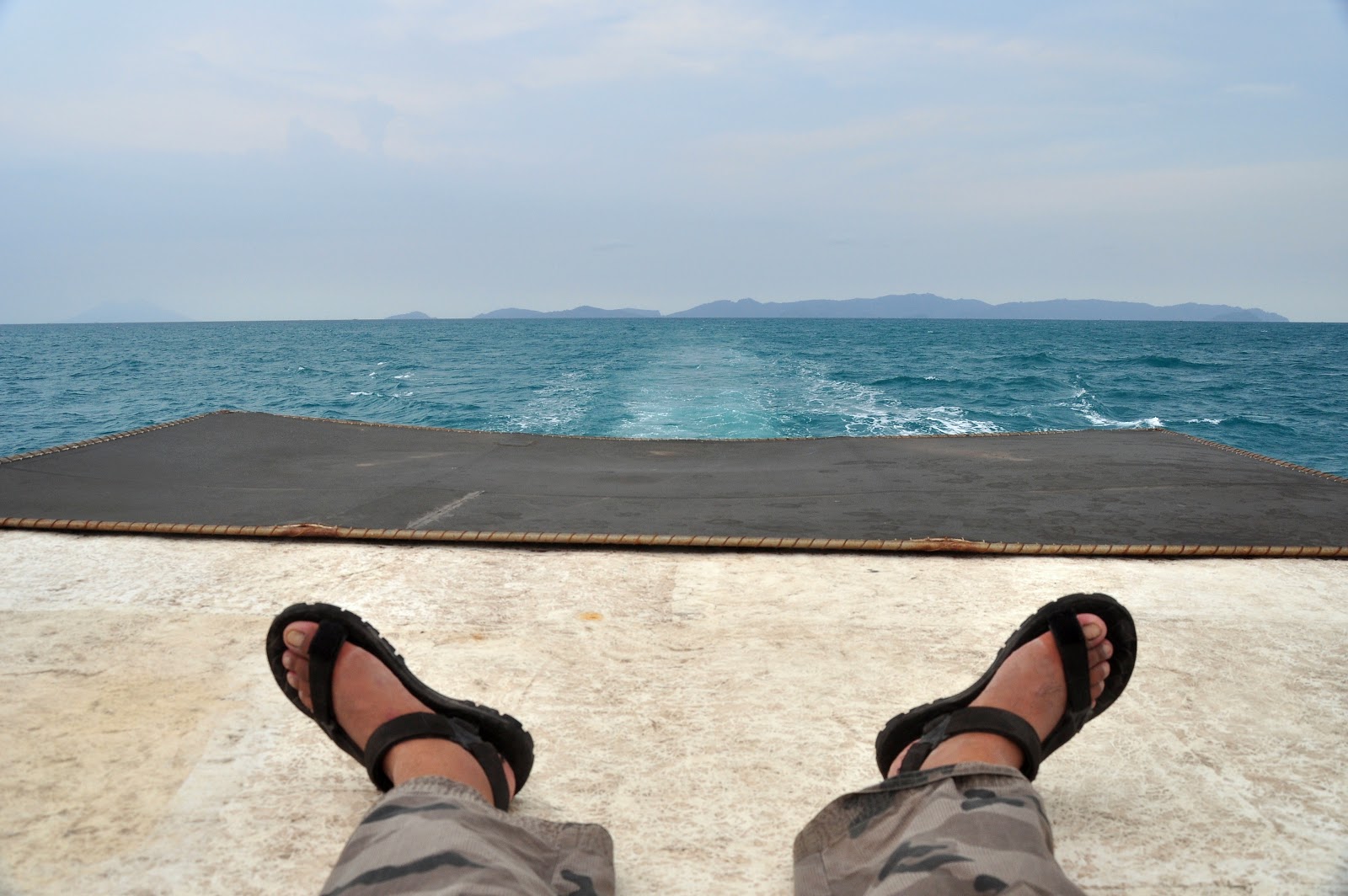 |
| On the way back to Lempasing, sit back and relax on the top of the boat. There was no other better place to enjoy the ride and taking pictures than on the top of the boat. Nothing would block your view. This was how I got my sunburn. |
 |
| The 2Days-1Night trip ended here, Sun Oct 7, 2012 4pm the harbor at TPI Lempasing. I got severe sunburn on my arms and face. I was not sure how I should prepare my weary body to attend a wedding party in the evening that day. I was worried with my camera. Salt water, sweat, and volcanic dust are not get along with camera and coated lenses. |


